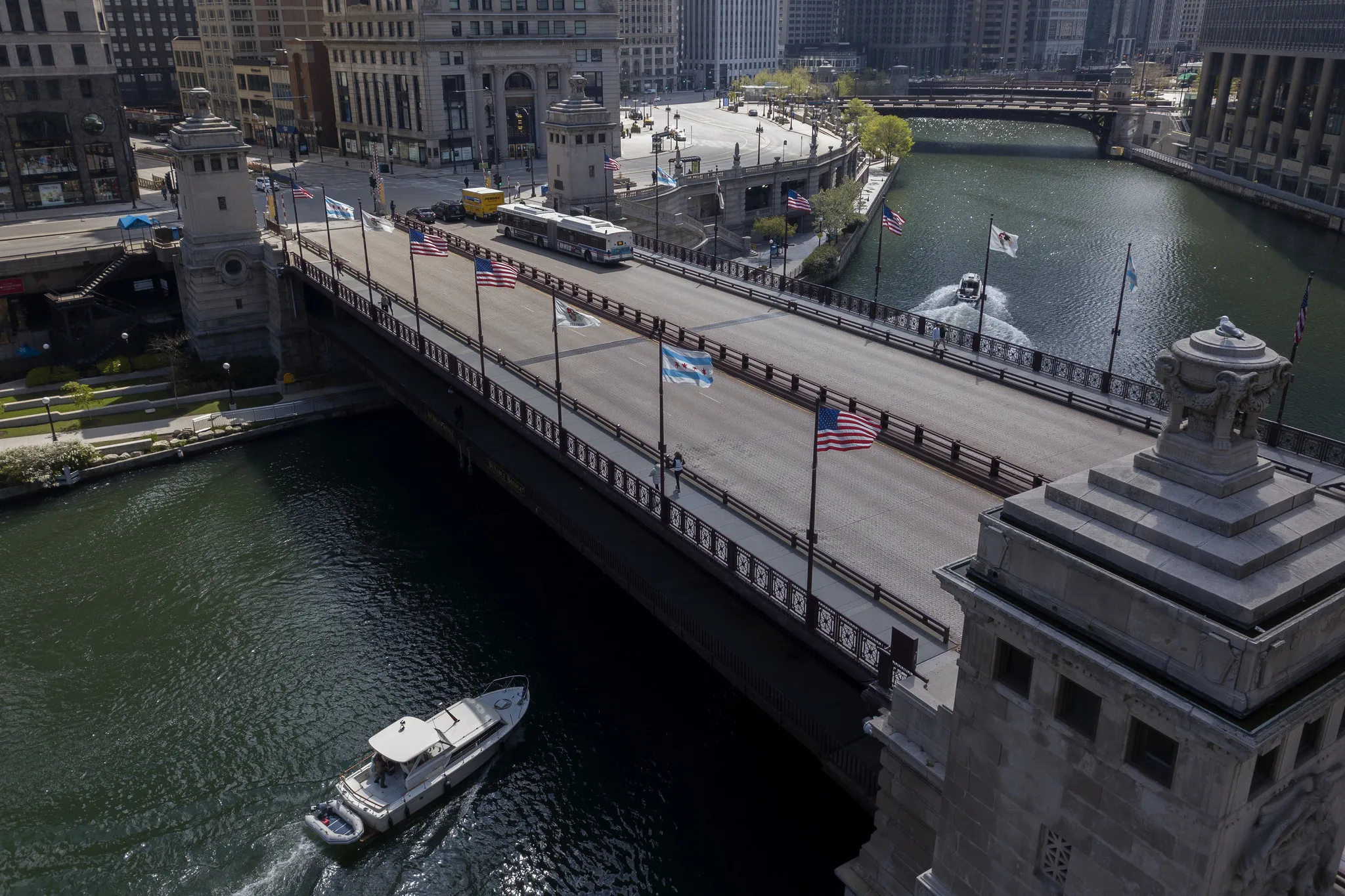
Michigan Avenue Bridge
09:00–11:00
Position yourself on the bridge for a symmetrical view of the river flanked by historic skyscrapers.
First-time visitors studying a downtown map often wonder about the vast channel intersecting the skyscrapers. The Chicago waterway system is a central feature of the city, connecting Lake Michigan to the broader region. This guide explains how to navigate the downtown channels, access public paths, and plan your architectural boat tours.
Quick answer
To answer the question, Is There A River That Runs Through Chicago, yes—the Chicago River flows straight through the downtown core as a public waterway with a 0 USD entrance fee and 24-hour daily access. While the waterfront paths remain open around the clock, commercial cruises operating on the Main Stem maintain varying seasonal schedules.
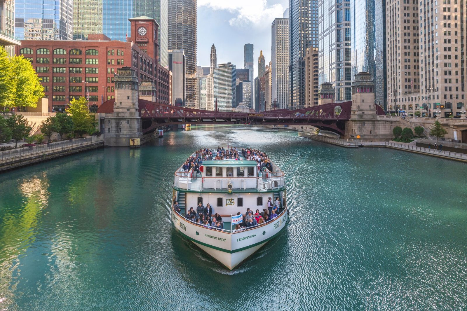
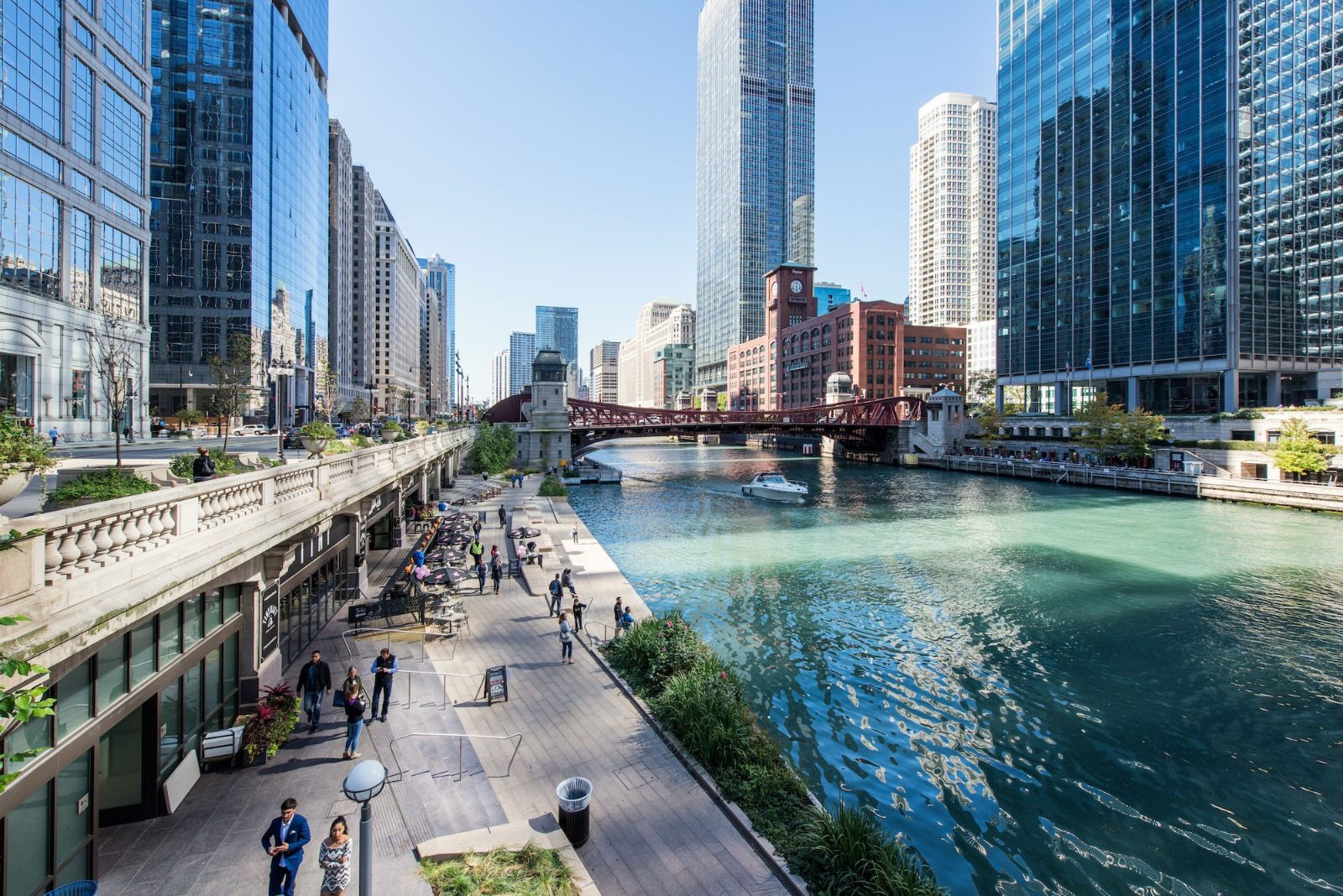
In 1900, civil engineers executed a massive infrastructure project that permanently reversed the flow of Chicago's central waterway to push waste away from the city's drinking water supply in Lake Michigan. Today, this engineering marvel defines the urban layout. Travelers planning their itineraries frequently ask, Is There A River That Runs Through Chicago? The answer is a 156-mile system of channels, canals, and branches, though most visitors focus strictly on the Main Stem and the South Branch. These central channels weave directly through the dense clusters of structural steel and glass skyscrapers, functioning as a bustling transit corridor for commercial barges, water taxis, and passenger vessels. The river creates a distinct visual break in the street grid, separating the Loop business district from the Near North Side neighborhoods. Navigating the river intersecting the metropolis requires understanding its three-pronged layout. The system converges at Wolf Point, a historically significant junction where the main channel splits into its northern and southern routes. Along upper Wacker Drive, pedestrians will find continuous stairways leading down to the water level. This lower elevation creates a distinct micro-environment, shielding pedestrians from street-level traffic noise while providing direct access to various commercial docking stations. Dozens of mechanical bascule bridges cross the water, equipped with massive counterweights and operating on coordinated spring lifting schedules to allow taller maritime traffic to pass safely toward the lake. For those researching how to traverse the downtown area, recognizing this multi-level city infrastructure makes mapping out walking routes and boat access points highly straightforward. The waterway serves as the primary artery for historical architecture cruises and daily transit taxis. Commercial maritime operators line the lower docks near the DuSable Bridge at Michigan Avenue, offering narrated routes that detail the city's rapid vertical growth and structural innovations following the Great Fire of 1871. Because the main channel sits entirely below the primary street grade, reaching ticket booths and boarding zones requires descending from the major avenue bridges via stone staircases or elevator towers. Understanding these physical logistics ensures a smooth arrival for any scheduled departure window. For anyone who initially asked, Is There A River That Runs Through Chicago, modern city maps clearly denote the accessible pedestrian promenade zones and designated vessel boarding areas. The river remains an active, continuous thoroughfare that shapes every practical aspect of downtown navigation.
“The river creates a distinct visual break in the street grid, separating the Loop business district from the Near North Side neighborhoods.”
The Chicago River is a system of rivers and canals with a total length of 156 miles that flows directly through the heart of the city. It stands as a significant engineering achievement that continues to shape the urban landscape.
In 1900, the Chicago Sanitary and Ship Canal was completed to reverse the river's flow, directing it away from Lake Michigan to protect the city's drinking water supply.
The entire Chicago River system spans approximately 156 miles in total, connecting the Great Lakes to the Mississippi River watershed.
The Chicago River features more movable bridges than any other city in the world, allowing for efficient navigation of marine traffic.
Since 1962, the river has been dyed green to celebrate Saint Patrick's Day using an environmentally friendly vegetable-based dye.
Despite its urban location, the river supports diverse aquatic life, including largemouth bass, bluegill, and various species of sunfish.
The Metropolitan Water Reclamation District conducts regular water quality testing to monitor the health of the river ecosystem for local wildlife and recreational use.
The Chicago River is a public waterway and does not require an entrance fee to access its banks or the Riverwalk. Any costs associated with visiting the river relate solely to commercial activities such as guided boat tours.
Verdict: A typical visitor pays 0 USD to access the river, though third-party commercial cruises and tours charge separate rates.
The Chicago River flows through the heart of downtown, with the Chicago Riverwalk serving as the primary pedestrian access point. It is centrally located and accessible via major public transit hubs throughout the Loop.
CTA Blue Line to Clark/Lake Station
CTA Red Line to Lake Station
CTA Route 146 to Michigan & Wacker
From Millennium Park to Michigan Avenue bridge
For the best experience, plan your visit during the 09:00–11:00 arrival window. Entering at the Michigan Avenue bridge provides immediate access to the main Riverwalk pathway.
09:00–11:00
Position yourself on the bridge for a symmetrical view of the river flanked by historic skyscrapers.
09:00–11:00
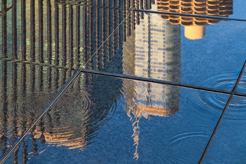
Walk along the water level to capture reflections of glass buildings in the river surface.
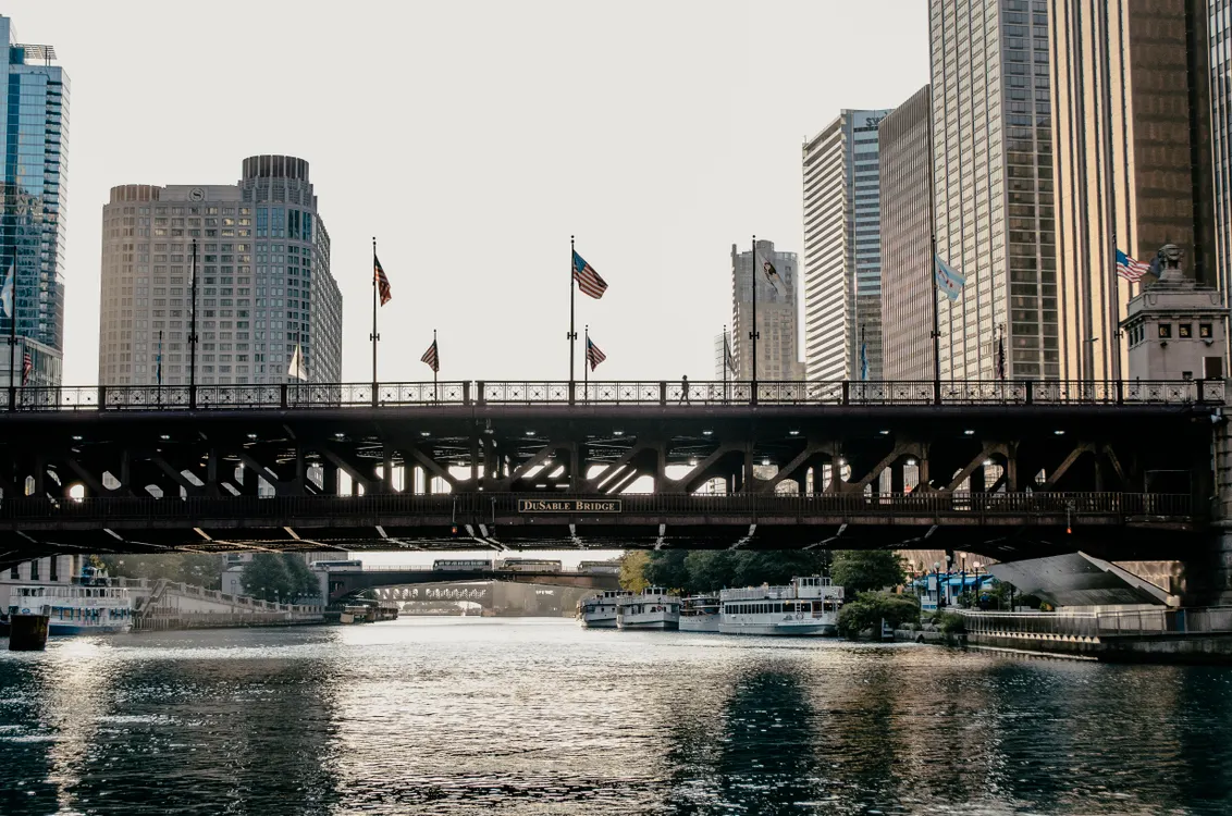
09:00–11:00
This vantage point offers a clear line of sight down the main branch toward the west.
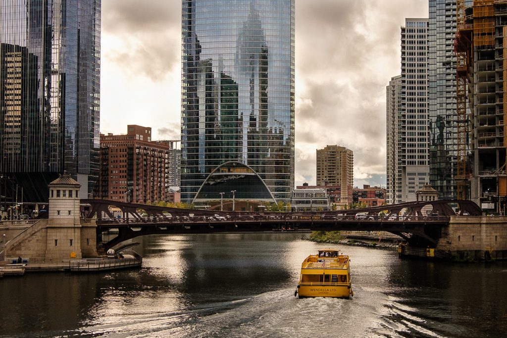
09:00–11:00
Use this bridge to frame the river winding between dense urban density and steel structures.
The Chicago River serves as a central artery for the city, placing visitors within walking distance of several major cultural and recreational landmarks. Exploring these sites alongside your river visit creates a logical flow for a day of urban sightseeing.
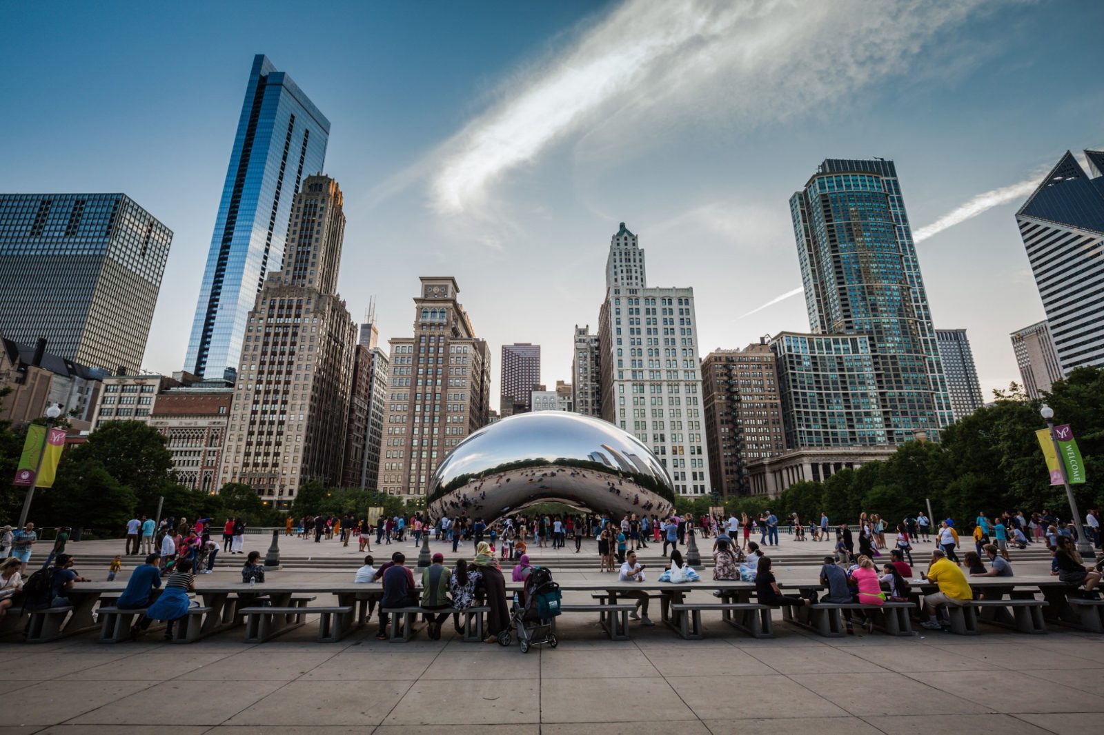
10 min walk
This park is home to the Cloud Gate sculpture and provides a green space transition from the river architecture.
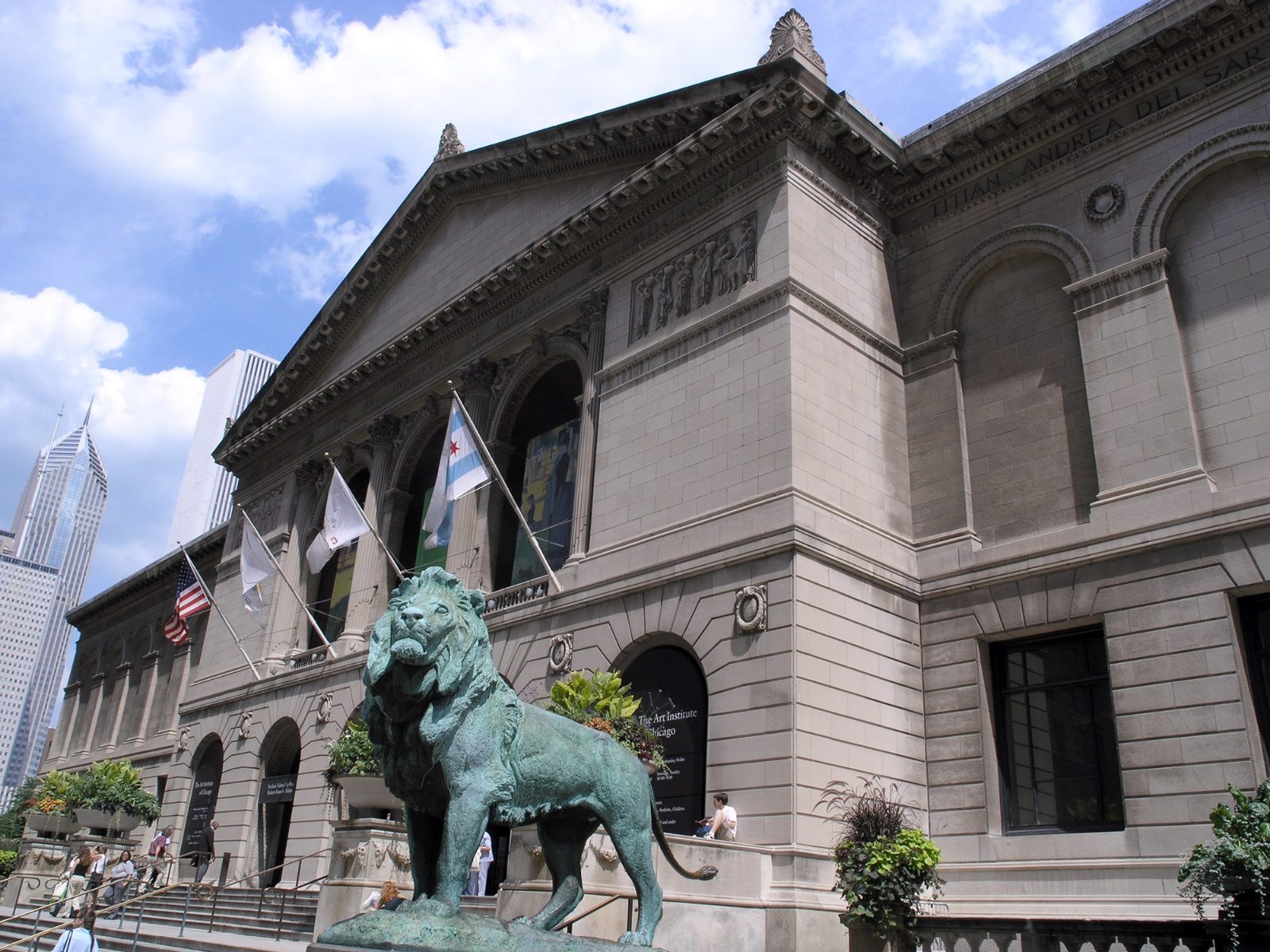
15 min walk
Located near the river, this museum offers world-class collections that complement a morning of sightseeing along the waterway.
0 min walk
The Riverwalk is directly integrated with the river, providing pedestrian paths that connect various architectural points of interest.
Everything you need to know about is there a river that runs through chicago
Yes, the Chicago River is a significant waterway that winds directly through the heart of the downtown area. Many visitors often ask is there a river that runs through Chicago, and the answer is a central feature of the city's urban layout.
Historically, the flow of the river was reversed in 1900 to protect the city's water supply from sewage. This engineering feat remains one of the most significant changes to the local geography.
Yes, the Chicago Riverwalk provides a pedestrian-friendly path along the water with various dining and seating options. It is an excellent way to see the city landmarks and architecture up close.
While the water is accessible daily, the best time to see the Chicago River is during the morning hours from 09:00 to 11:00. This window provides optimal lighting for photography and ensures fewer crowds as you explore the area.
When researching is there a river that runs through Chicago, you will find it is a public waterway with no entrance fee. You are free to walk along the banks or enjoy the public spaces at your leisure.
For the most immersive perspective, many visitors choose a local boat tour to view the skyscrapers from the water. These excursions provide unique angles of the skyline that cannot be seen from the street.
When planning your trip, consider that the river flows through the downtown loop area. It is a public space open every day of the week, allowing you to incorporate a visit into any part of your Chicago itinerary.
Chicago Lake and River Architecture Cruise
Read more Tickets & toursChicago Lake Michigan Dinner Cruise
Read more GuideHow Much is a Chicago River Cruise
Read more Tickets & toursArchitecture Cruise by Speedboat
Read more Tickets & toursChicago by Night Lake and River Cruise
Read more GuideChicago River and Lake Sunset Cruise
Read more